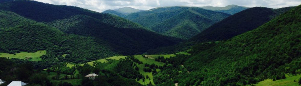
In response to the region’s growing population and flourishing tourism, the need for a hydroelectric power plant became evident. To determine the best location and design, we embarked on an extensive topographical mapping project. Our journey led us to employ advanced LIDAR technology and aerial photography to create detailed maps of the area.
Challenges arose due to the rugged terrain and proximity to border areas, making conventional drones unsuitable for the task. Instead, we turned to Ofek’s specialized aircraft with LIDAR sensors. This choice allowed us to gather data with a high level of precision.
Our dedication to precision is rooted in our commitment to the project’s success. It’s essential to ensure that every aspect, from power generators to dams and drainage canals, is meticulously planned to avoid future structural issues. To achieve this, we combined ground-based GPS data with aerial LIDAR data to create accurate topographical maps.
Our focus on accuracy and quality remains unwavering as we work towards providing sustainable energy for the region. Join us on this journey where innovation and precision lay the foundation for a brighter, more sustainable future for your country.