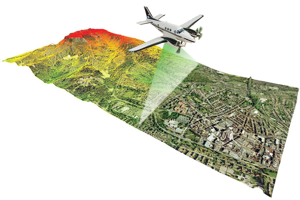
Ofek Aerial Photography operates 2 OPTECH new and advanced LiDAR systems for mapping production using the most advanced method with the best capabilities in the world.
The LiDAR system is installed on an Ofek aircraft and scans rapidly large areas.
The LiDAR scanner is a laser sensor that measures distance and other features of an object by sending a laser beam and analyzing the reflected light.
The LiDAR scanner reflects the precise location of each point where the laser beam hits and produces precise coordinates x, y, z of that point.
Each return from the ground is captured with two main data:
- Precise landmark of the beams’ hit location.
- Precise height above sea level of the beams’ hit location.
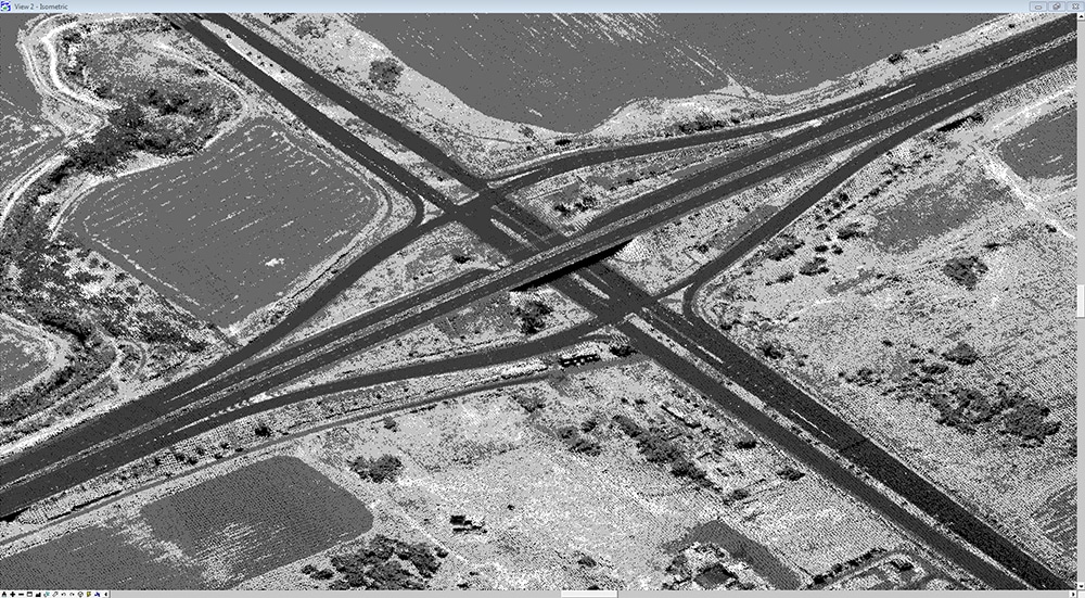
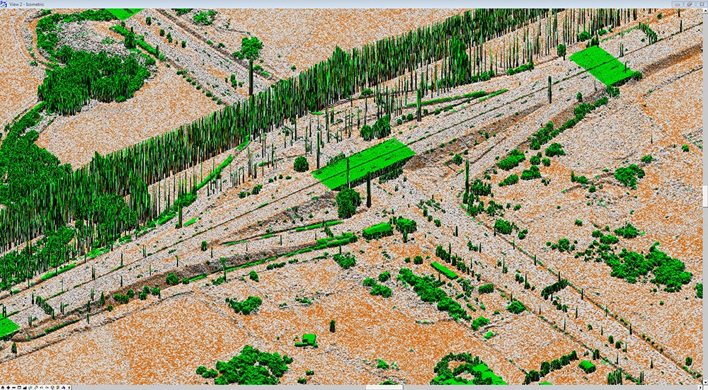
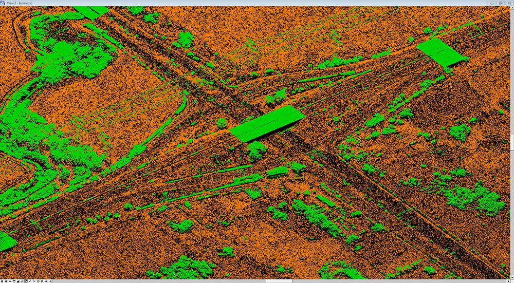
The light returned to the LiDAR produces a cloud of laser dots that simulate the terrain and surface of the area.
Cloud point analysis and filtering create a Digital Terrain Model (DTM) and Digital Surface Model (DSM) of the scanned area.
Real surface separation and identification can also be carried out in areas where the terrain is densely covered with buildings, vegetation, forests etc.).
Laser mapping products:
- D.T.M – 3D mapping of the ground terrain with an accuracy of at least 15 cm.
- D.S.M – 3D mapping of the land surface with an accuracy of at least 15 cm.
- The possibility of separating the mapping layers and creating sub-layers.
- A convenient interface for all mapping and GIS existing systems.
The system includes an inertial system (IMU) manufactured by APPLANIX and advanced processing software for various uses.