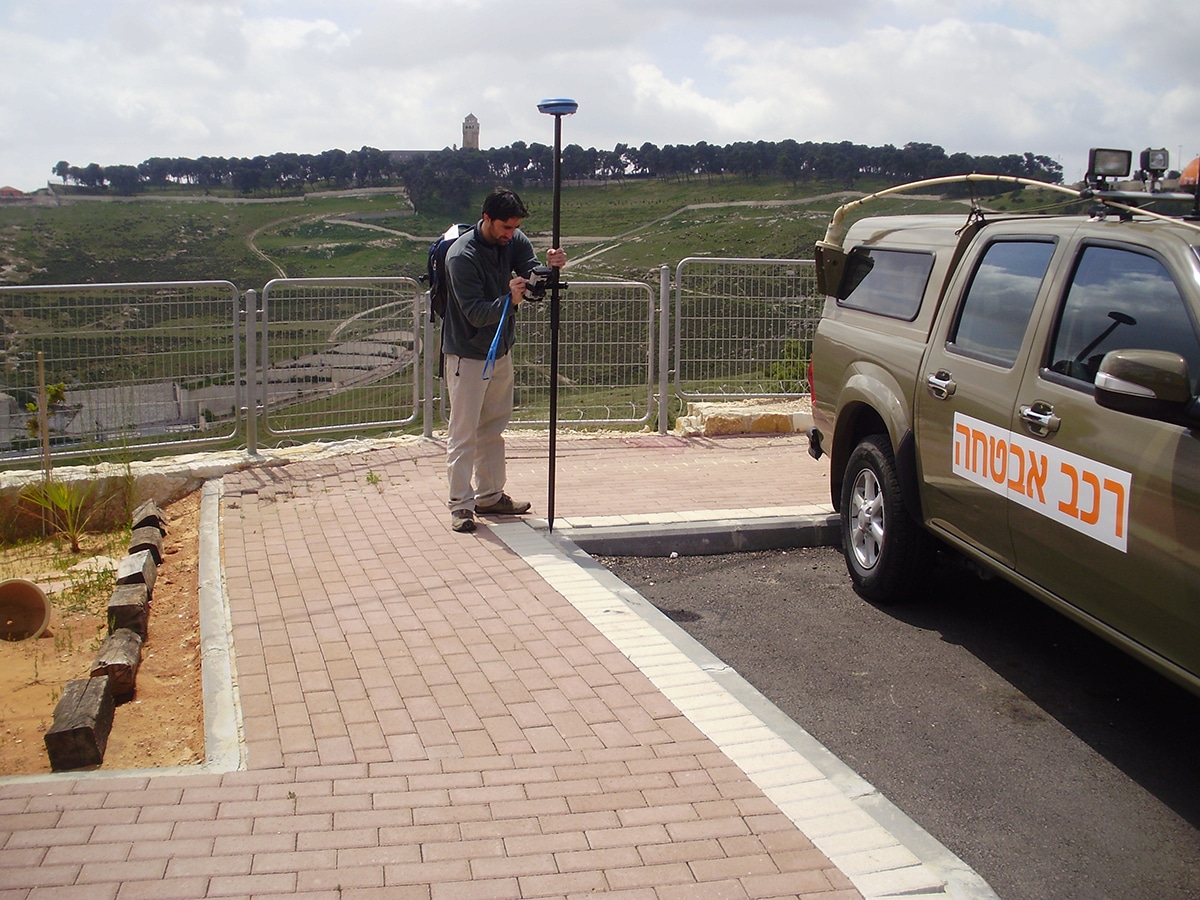
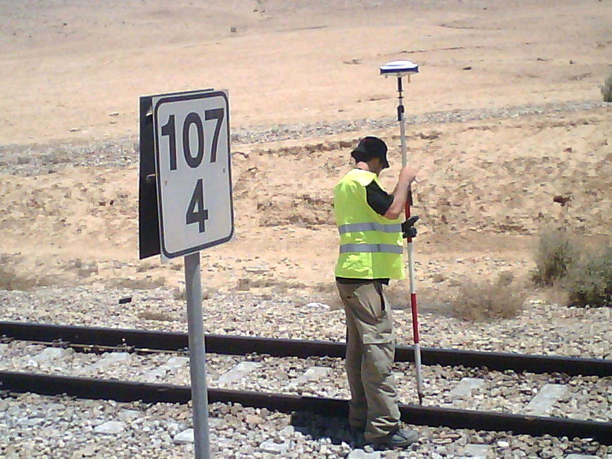
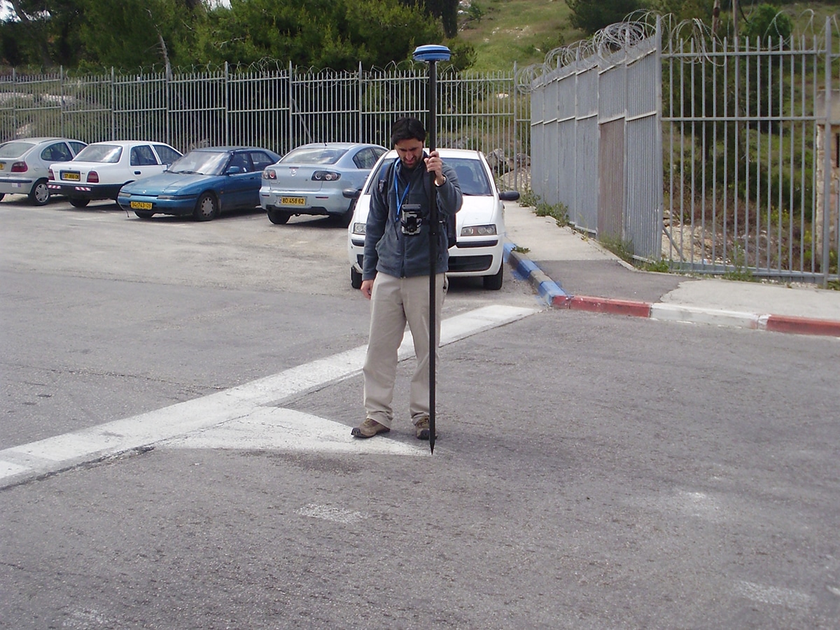
Ofek Aerial Photography provides professional ground surveying services in geodetic engineering field both in Israel and abroad:
- Measurements for real estate needs
- Measurements for building permits at scale of 1:250
- Cadastral measurements for registration purposes
- Architectural measurements and planning purposes measurements
- Measurements for civil engineering purposes
- Marine measurements (Bathimetric)
Ofek is prepared to provide integrated ground mapping solutions for aerial photography and ground measurement. A process that ultimately results with the highest quality product to the customer.
The company owns computer equipment, specialized software and geodetic measuring instruments with the most advanced technological characteristics in the field of land mapping and ground measurements in the world. The company has extensive knowledge and experience in the field of ground mapping using cloud points and its integration in ground measurements. The latest technology enables accurate measurements and creative solutions in the field of geo-information.
Ofek has a team of veteran surveyors who are skilled in operating all types of measuring instruments.
Our surveying teams are active all over the country, on any land characteristics. We are skilled in measuring soil as well as internal-structural spaces, such as in factories, public buildings and large halls.
Our teams are experienced and serve for many years public, security, municipal and private organizations.
The combination of physical work and the use of the best technology – creates accurate measurements, which are obtained on any computerized or manual format and signed by a certified surveyor.