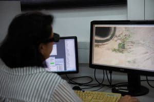
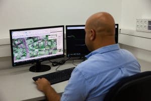
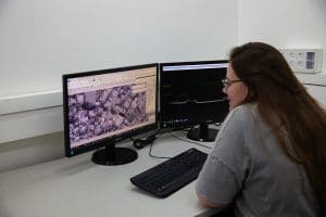
Ofek has been a leader in the field of photogrammetry mapping for many years, constantly using the most advanced technological means, accompanied by a team of professional photogrammetric consultants and strict adherence to the quality of the products.
Our scope of services includes:
- Photogrammetric mapping on a scale of 1:250 to 1:250,000.
- Building topographic models from various sources of information.
- Field study completions by a team of land surveyors.
- The establishment of nationwide geodetic networks.
- The mapping files are converted to different formats according to customer requirements.
Our photogrammetric mapping teams are experienced in large scale projects in Israel and abroad.
Ofek prides itself on using the latest software, which provides a quick and accurate response to our customers.