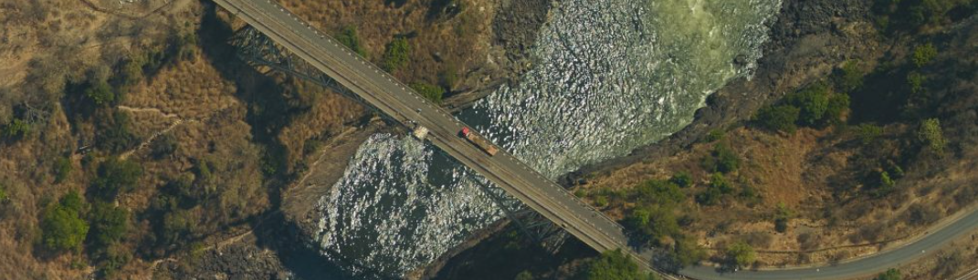
In Zambia, there was a mission to predict floods, explore dam possibilities, and enhance water management along the Zambezi River basin. It was a task that called for innovation.
Enter Ofek, your partner in progress. We embarked on an aerial survey campaign, equipped with advanced Lidar technology and an aerial mapping camera. The result? A detailed 3D model capturing the essence of the Zambezi River basin, complete with a high-resolution Orthophoto map.
This ambitious project yielded two key outcomes:
- Mastering the Flow: We’ve dived into the intricacies of water management for one of the world’s largest river basins, the Zambezi River. Our expertise is your guide to sustainable resource use and a blueprint for a water-rich future.
- Predicting and Protecting: Through Flood hazard maps and a Geo-Information database, we’ve changed how we deal with flood prediction and mitigation. We’ve used hydraulic models to protect lives and livelihoods from unpredictable natural forces.
And that’s not all. Within this vast canvas of 12,000 km2, our 3D division has crafted a detailed 3D model of the renowned Victoria Falls, honoring this iconic landmark.
As Zambia sets its course towards a brighter, more resilient future, we invite you to contact Ofek and seek its support and expertise in any water management or flood prediction and mitigation project that comes your way.